3-PG Spatial

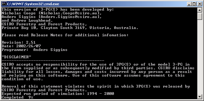
Console interface for the Spatial version of 3-PG
The console version of 3-PG is a spatial version that runs on ESRI float grids. All the parameters present in the excel version are in the console version, but the majority of those parameters can be defined by a spatial grid of values.
Data is entered using two text files that contain information for the tree species and combined information for the site and climate data respectively. An example of a species file can be found here, and an example of the combined site and climate data file can be found here. The output generated by the console version (as well as the inputs) is in the form of ESRI float grids. The format of a float grid is as follows (courtesy of the Arc Workstation help):
- The data file is an IEEE floating point format, 32 bit signed binary file.
- Two inputs are required, the binary floating point file, and an ASCII header file named <data_file>.hdr
- The ASCII file consists of header information containing a set of keywords. The file format is: <NCOLSxxx> <NROWSxxx> <XLLCENTERxxx| XLLCORNER xxx> <YLLCENTER xxx | YLLCORNER xxx> <CELLSIZE xxx> Where xxx is a number, and a keyword nodata_value is optional.
- The NODATA_VALUE is the value in the input file that denotes that those cells should be assigned the value of NODATA in the output grid. NODATA is normally reserved for those cells whose true value is unknow.